2023
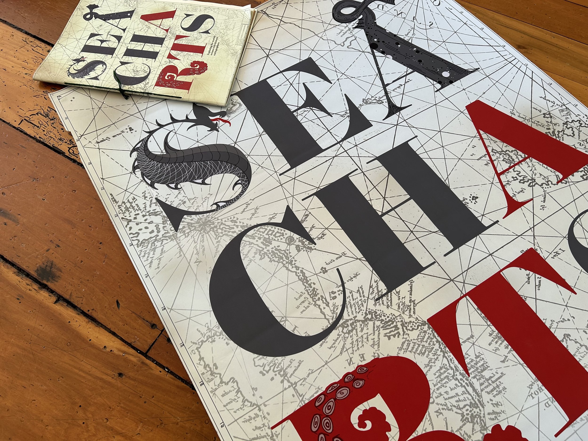
SEA CHARTS:
Exploring the world’s oceans with historic cartographers
In response to the International Society of Typographic Designer’s brief of ‘Mapping the World’, I have explored the different ways 15th century cartographers documented, depicted and mapped the world’s oceans. The Age of Exploration in the 15th and 16th centuries was when map making became an art-form. Illustrative storytelling becoming a tool for drunken sailors and historical cartographers alike. The dark depths of the ocean was a mystery, and there were many horrors believed to be hiding in the cold waters. In their world, monsters were very much real. This book explores the history and significance of monsters within ancient maps and tells the personal accounts of Abraham Ortelius and Olaus Magnus—two historical cartographers who’s famous maps contain the most monsters of all.


